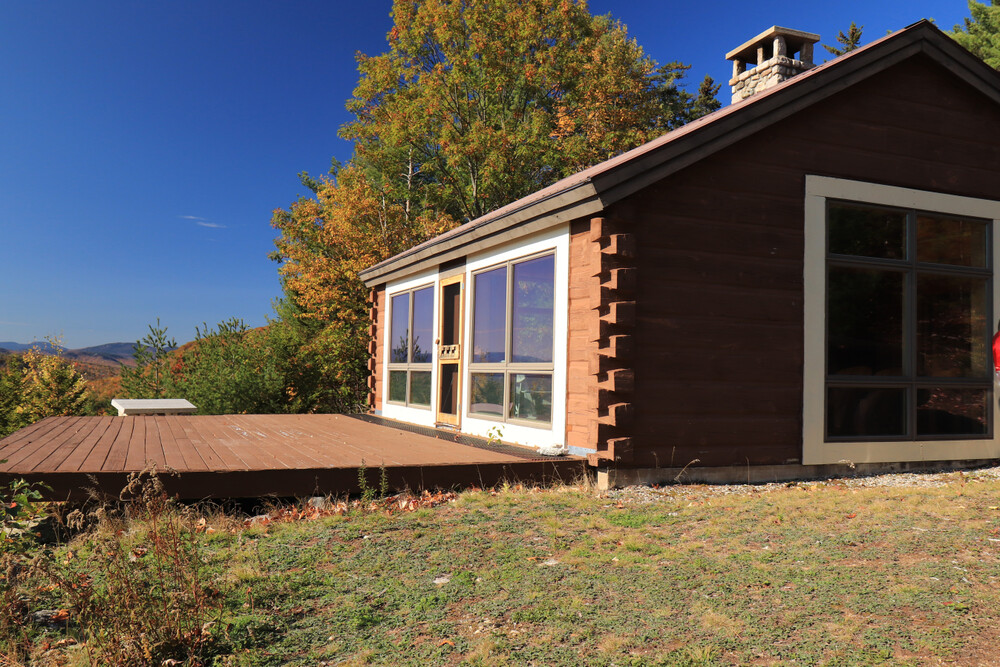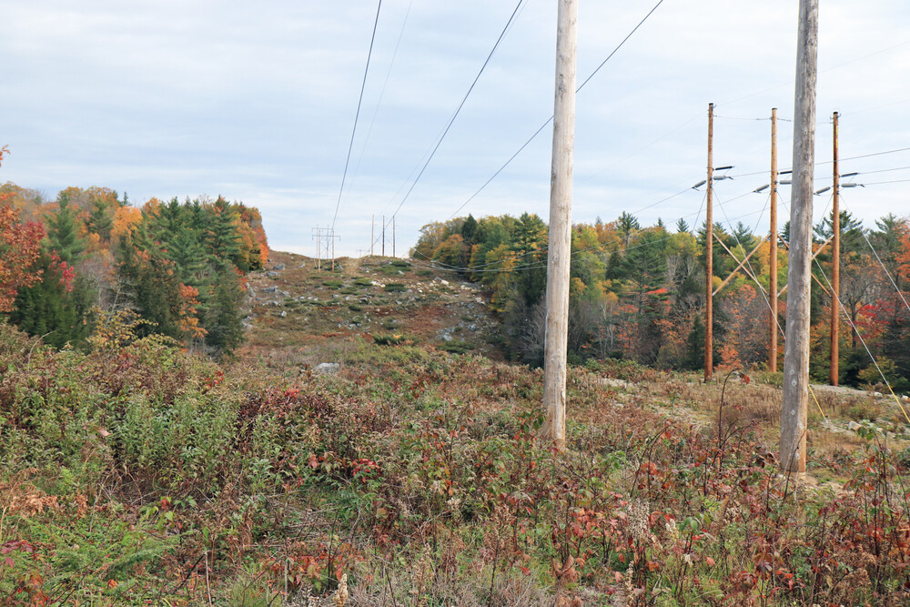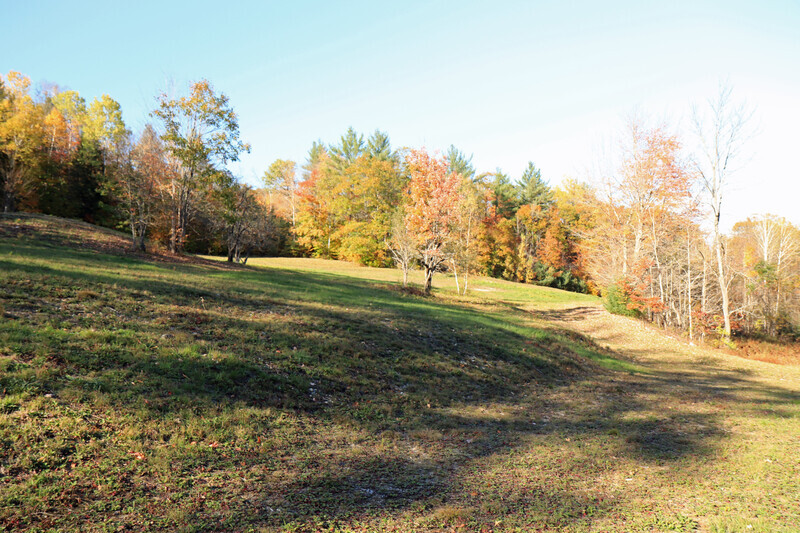
In 2021, Horizons Engineering was engaged by Mahoosuc Land Trust to provide surveying services for a 12,300-acre conservation project located in the Crooked River area in Albany Township, Greenwood, Norway and Waterford, Maine. The project consisted of a perimeter reconnaissance for boundary evidence, conditions of line marking, encroachments and conditions and a differential GPS (DGPS) survey of large timber tracts. Horizons completed land records research of the parcel to identify existing surveys of record and prepared a preliminary GIS map of the parcels for fieldwork. Our survey teams, working in groups of at least two, navigated approximately 65 miles of remote boundary lines. All field evidence was located with a precision of one meter or better, and in many places to within a centimeter. A map of the project was prepared, displayed on twelve sheets, depicting boundary lines and evidence, title and abutting land owner references, easements, conditions, encroachments and parcel areas. A legal description of the conservation parcel was prepared based on the survey and used for a successful project closing. During the course of the survey, Horizons identified approximately ten areas of conflict where additional land records research and survey work is recommended to more accurately determine boundary lines. Our final report included recommendations for line marking of approximately 16 miles of boundaries to assist with future easement identification and monitoring. Despite additional out-of-scope services, the project was completed within the established budget and timeframe.