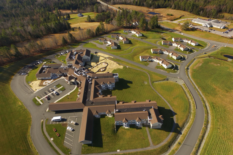
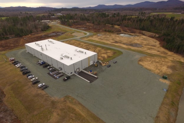
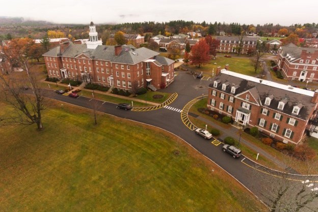
Project Applications:
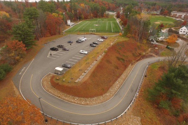
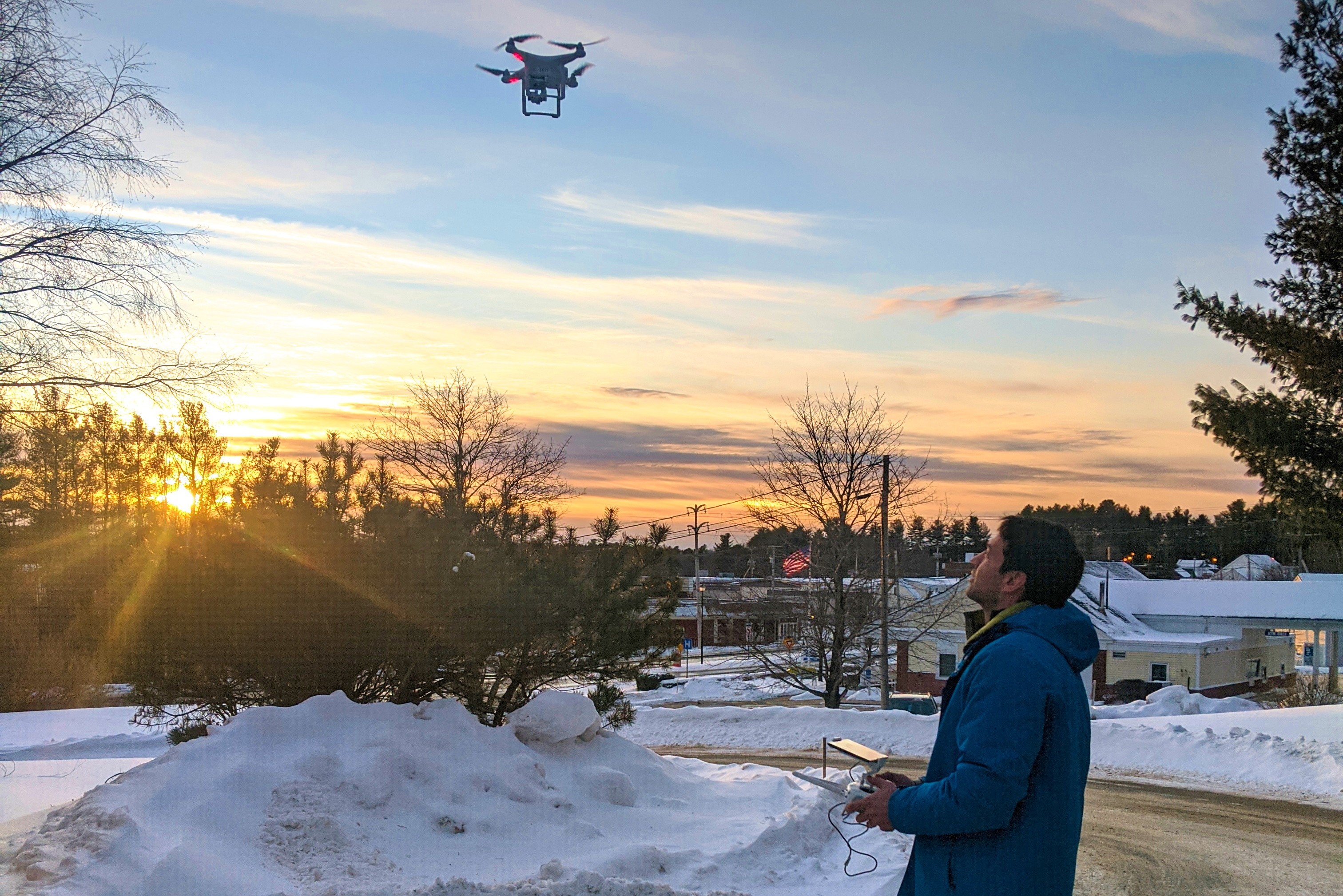
- High-Resolution Aerial Photo & Video
- Land Planning / Real Estate Marketing
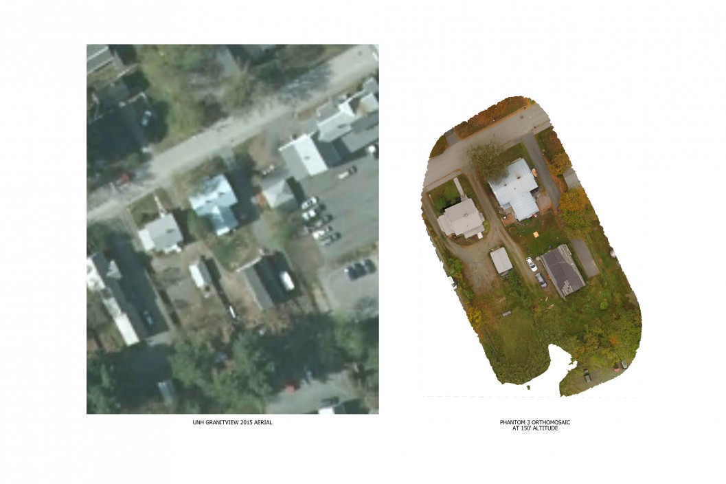
- Orthomosaic Imaging
- Utility/Communication Inspection
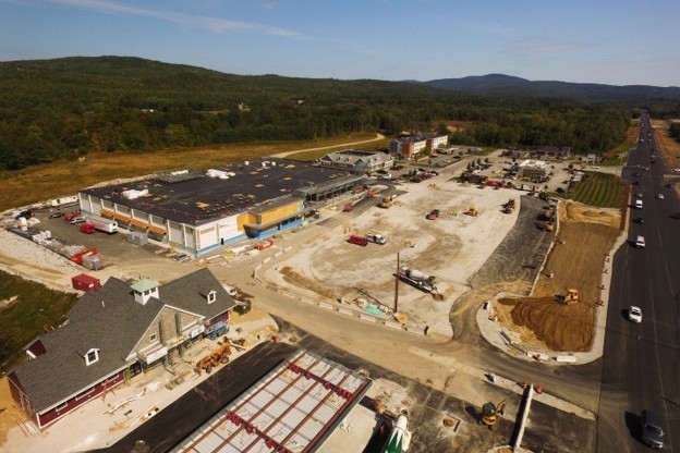
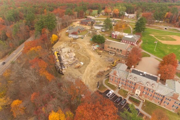
- Construction Monitoring, Inspection and Equipment Tracking
- Viewshed Analysis
Horizons Engineering now provides solutions for high-resolution aerial imagery and video, orthomosaic mapping, construction monitoring, utility inspection, and more. Our staff of FAA certified operators and engineers have the knowledge and training to meet your needs.


Project Applications: